Beijing Sheng Heng Tian Bao Technology Co.,Ltd.
  • HOME
  • ABOUT US
  • PRODUCTS
  • COOPERATION PARTNER
  • CONTACT US
banner1
banner2
banner3
banner4
banner5
banner6
  • Laser Land Leveling
  • Satellite Land Leveling
  • Deep Scarification Land Leveling
  • Beidou Steering System
  • Trimble Steering System
  • Unmanned Aerial Vehicle
  • Kaisi Steering System
  • EZ-Guide 250
  • GPS Auto Steering System
  • AG-NAV Guia
  • Monitor and Dispatch System
  • Sprinkling Irrigation Remote Control
  • Software Management Platform
  • Variable Control System
  • Hardi Pesticide Sprayer
  • Handheld Crop Sensor
  • Soil Sampler
  • Manure Management
  • Base Stations
  • USC Seeding Control System
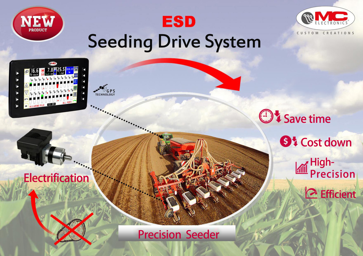
  • ESD Electric Seeding Drive System
  • Meteorological Monitoring
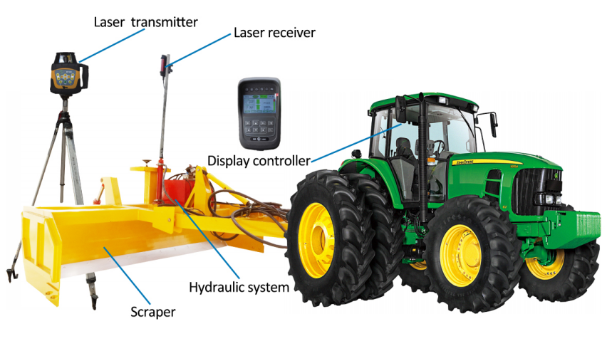
  • Laser Land Leveling Machine
    IGS激光平地机

    Laser Land Leveling Machine

    Advantage:
    1) Saving irrigation water 30 ~ 50%;
    2) Improving the utilization of fertilizer more than 20%;
    3) Increasing crop yield 20 ~ 30%;
    4) Improving land use 3% -7%;
    5) Improving operational efficiency of agricultural machinery;
    6) Automatic / manual working mode;
    7) Cost effective;
    IGS200
    Laser Control System
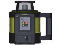
    • Rugby830射器
      Rugby830 Rmitter
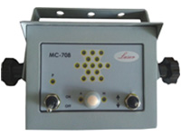
    • MC708控制器
      MC708 Controller
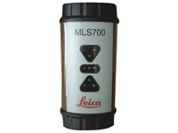
    • ML8700接收器
      MLS700 Receiver
    IGS908
    Laser Control System
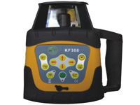
    •  KF308发射器
      KF308 Emitter
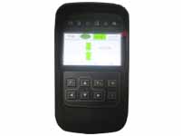
    •  KB908控制器
      KB908 Controller
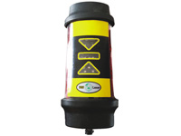
    • LS908接收器
      LS908 Receiver
    IGS100
    Laser Control System
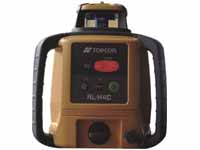
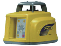
    • Topcon发射器
      Topcon Emitter
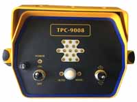
    • Topcon控制器
      Topcon Controller
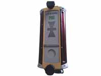
    • Topcon接收器
      Topcon Receiver
    IGS300
    Laser Control System
    • AG401
      AG401 Emitter
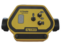
    • CB40控制器
      CB40 Controller
    • LR40接收器
      LR40 Receiver
  • Beidou Satellite Grader Machine
    IGS卫星平地机

    Satellite Grader

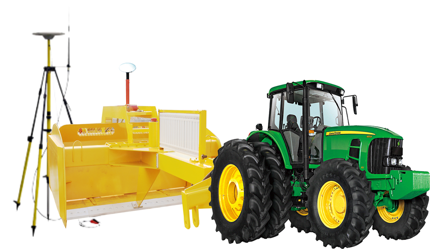
    The Satellite Grader streamlines the surveying, designing, and leveling steps required for land leveling projects. It also provides two methods for installing rice levees.It helps ensure optimal water management by providing improvements in yields, water usage, and farm productivity.Functionalities include:
    Survey
    Precisely map your fields; create boundaries, interior points, and surfaces with ease; and calculate and report on the true acreage of your survey area-for optimal field coverage and accurate surface designs.
    Design
    Create a best-fit surface using Autoplane technology; define primary and cross slopes for prescribed orientation and grades; and utilize Multiplane design software for more complex field requirements.
    Level
    Automatically drive the scraper hydraulic valves on any type of tractor and scraper to level your fields. You can also operate both tandem and dual scraper systems to increase the productivity of your leveling projects.
    Advantage:
    1) Saving irrigation water 30 ~ 50%;
    2) Improving the utilization of fertilizer more than 20%;
    3) Increasing crop yield 20 ~ 30%;
    4) Improving land use 3% -7%;
    5) Improving operational efficiency of agricultural machinery;
    6) Operation is not limited by the terrain height error;
    7) Signal is transmitted via a radio station and will not affected by inclement weather;
    8) Can be used with navigation base station.
  • IGS Deep Scarification Land Leveling
    IGS深松平地机

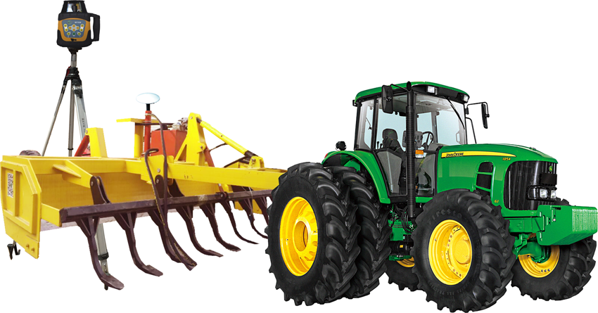
    IGS Shensong Land Leveling

    Features
    1) Efficiently distribute water by maintaining grade
    2) Improve yields by controlling excess water
    3) Minimize water costs and improve farm productivity IGS Shensong Land Leveling
  • Beidou Navigation System
    IGS北斗自动驾驶导航系统

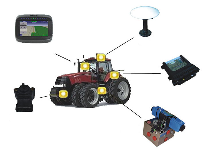
    Beidou Navigation System

    Features
    1) Uses existing row guidance sensors to sense the position of the combine
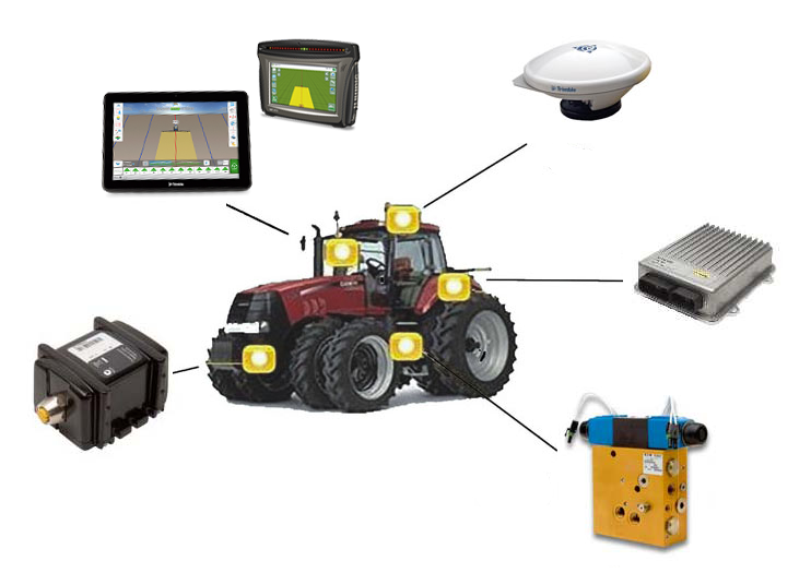
    2) Works with the Autopilot™ system to automatically steer your combine along rows
    3) Utilizes terrain compensation technology on the Autopilot system for high-accuracy steering in rolling hills, slopes, and rough terrain
    Beidou Navigation System
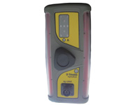
  • Trimble Grader
    天宝导航

    Tianbao Grader

    Features
    1) Uses existing row guidance sensors to sense the position of the combine
    2) Works with the Autopilot™ system to automatically steer your combine along rows
    3) Utilizes terrain compensation technology on the Autopilot system for high-accuracy steering in rolling hills, slopes, and rough terrain
    Beidou Navigation System
  • Unmanned Aerial Vehicle Remote Sensing
    一站式农业遥感无人机

    UAV

    Unmanned Aerial Vehicle Remote Sensing
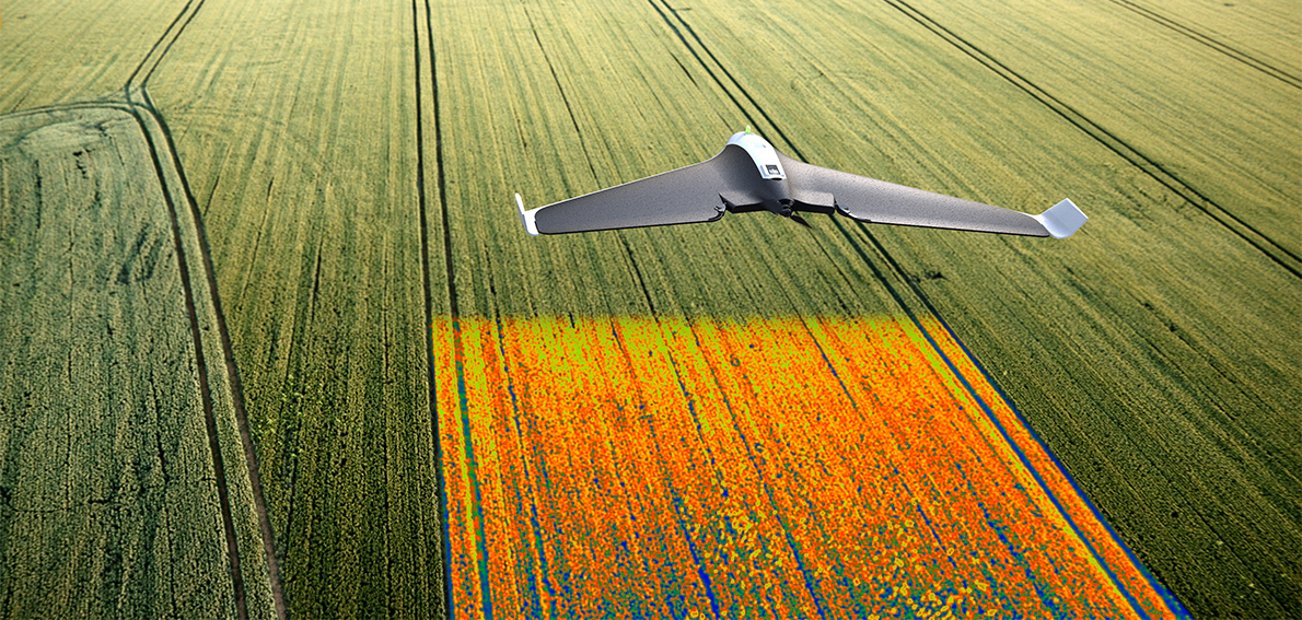
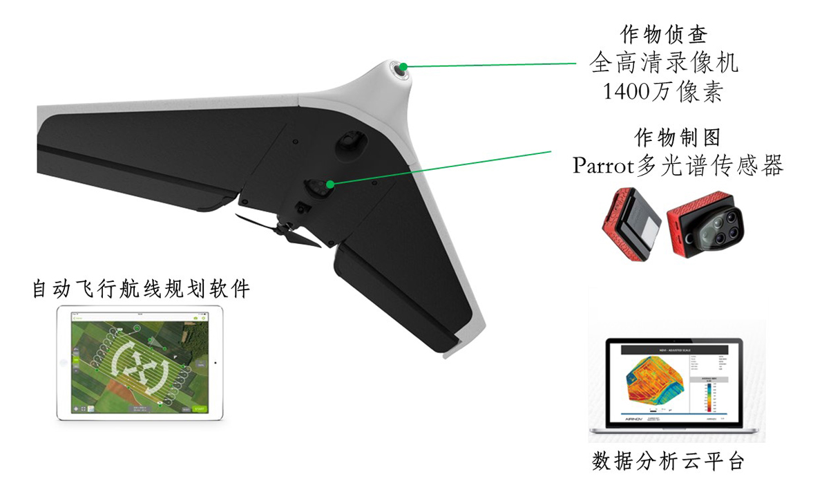
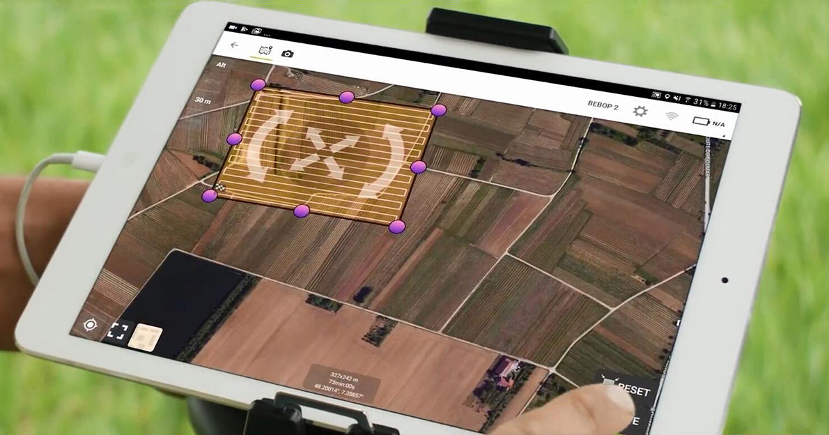
    The application of eppo in agriculture is developing rapidly and agricultural remote sensing unmanned aerial vehicles are being promoted gradually. Shengheng tianbao provides a one-stop remote sensing solution for intelligent flight - information collection - data processing for users.
    The flight control software is used for mission planning to realize autonomous flight and data acquisition of uav.
    Using full hd video recorder and airborne multi-spectral sensor to realize the whole process of crop detection and long-term information collection;
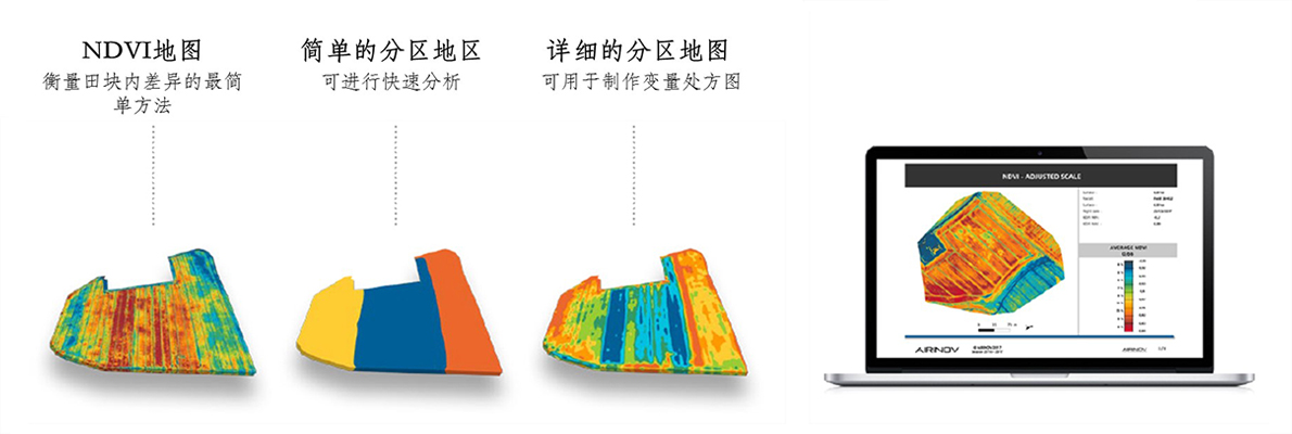
    Using data analysis cloud platform and customized services, users can easily get the map of crop growth analysis, found problems crop growth area, still can make crops nitrogen fertilizer prescription of variable rate fertilization diagram, in order to improve the utilization rate of nitrogen fertilizer and crop yield.
    Agricultural uav remote sensing suit
    UAV
    Parrot Disco-Pro uav remote sensing suit
    UAV
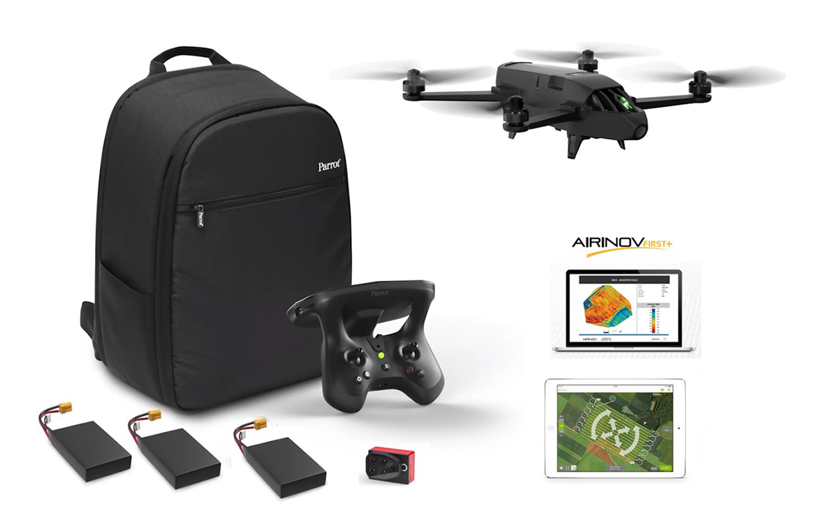
    Parrot Bluegrass uav remote sensing suit
    UAV
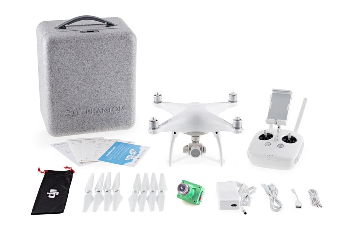
    Sentera uav remote sensing suit
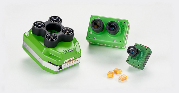
    Accurate crop information acquisition system
    UAV
    Parrot Sequoia multi-spectral sensor
    UAV
    Sentera sensor
    Easy to operate uav supporting services
    UAV UAV
  • Kaisi Navigation
    凯斯导航

    Kaisi Navigation

    Ridging
    Kaisi Navigation
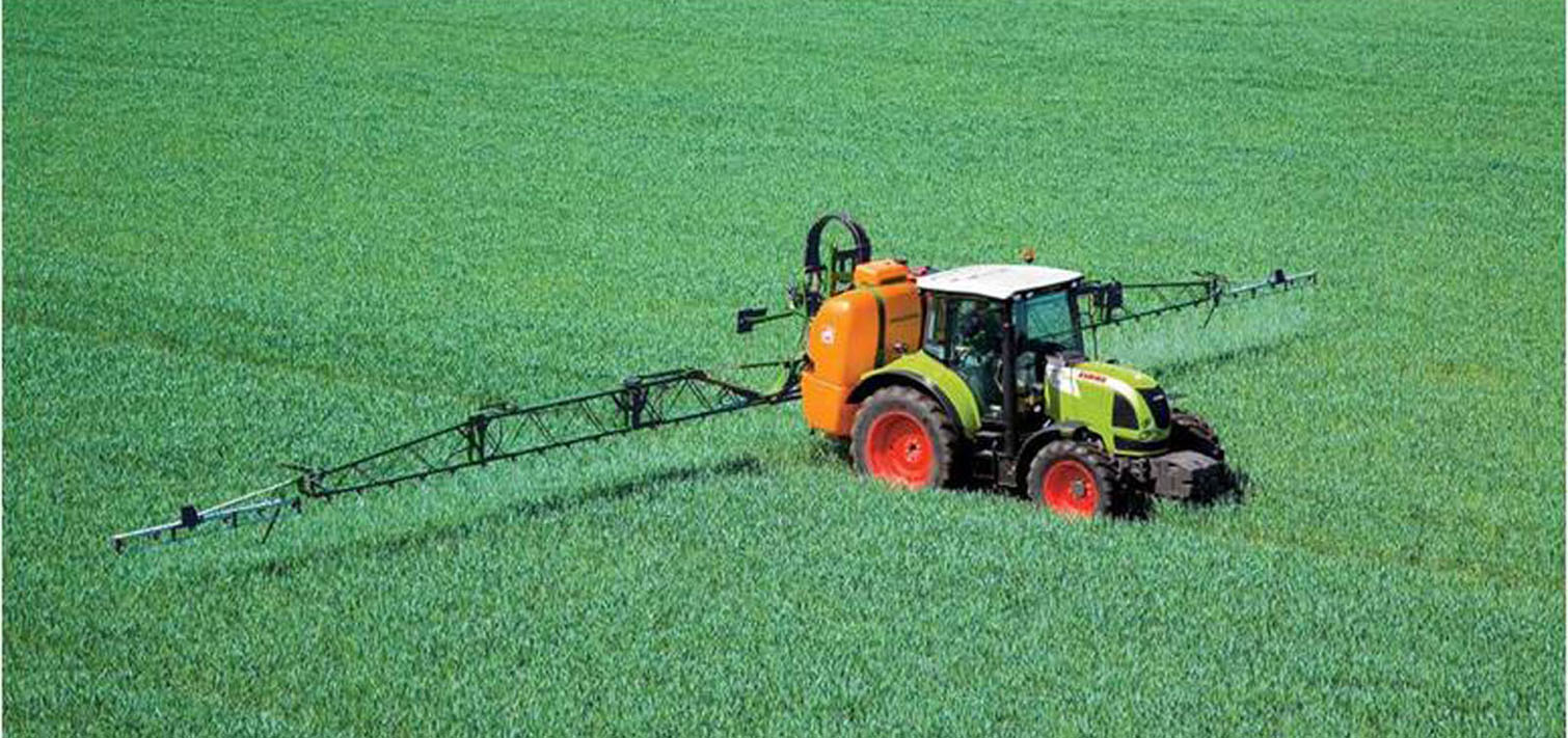
    Spray
    Kaisi Navigation
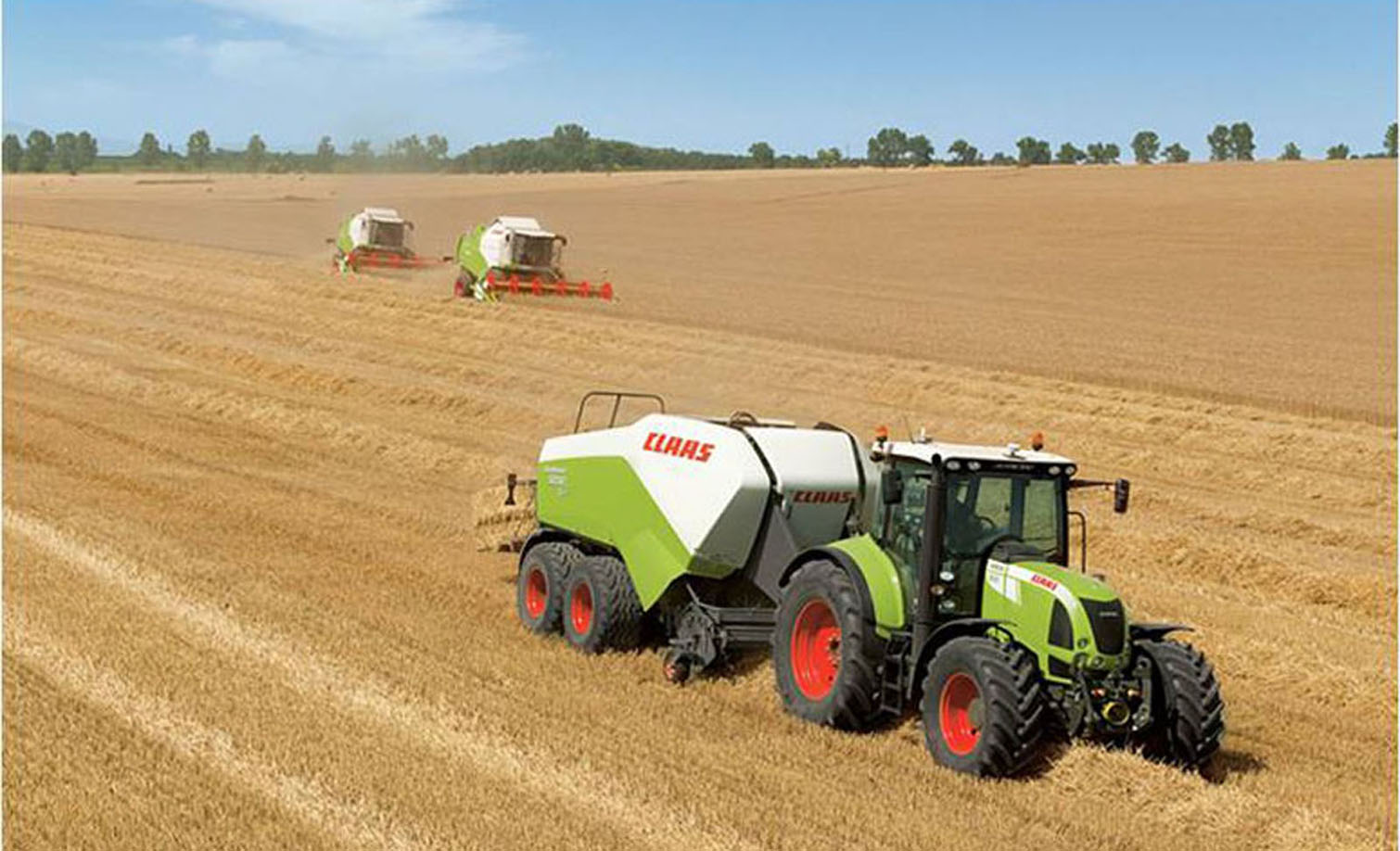
    Harvest
    Kaisi Navigation
  • EZ-Guide 250
    EZ-Guide 250导航光靶

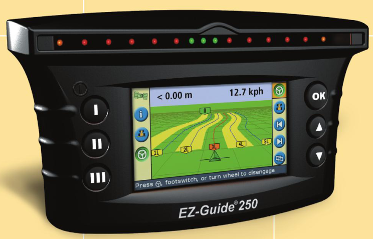
    EZ-Guide 250

    The EZ-Guide 250 system is an entry-level display providing high-quality guidance capabilities at an entry-level price. It is ideal for farmers who desire basic precision agriculture functionality for fields that require lower-accuracy corrections.
    Features
    1) Rugged construction for everyday field use
    2) Compact 4.3” color screen
    3) Intuitive user-interface
    4) 15 built-in LED lights
    5) One built-in GPS receiver
    6) Quick installation and fast learning curve
    The EZ-Guide 250 provides basic precision agriculture functionalities, including:
    Guidance and Mapping
    Coverage, point, line, and area mapping
    Manual guidance for a number of field patterns
    Hands-free guidance by adding the EZ-Steer assisted steering system
    USB Data Transfer
    Data transfer between from the field to the office with a USB Drive
    Farm Software
    Data analysis and reporting with Farm Works Software
    EZ-Guide 250
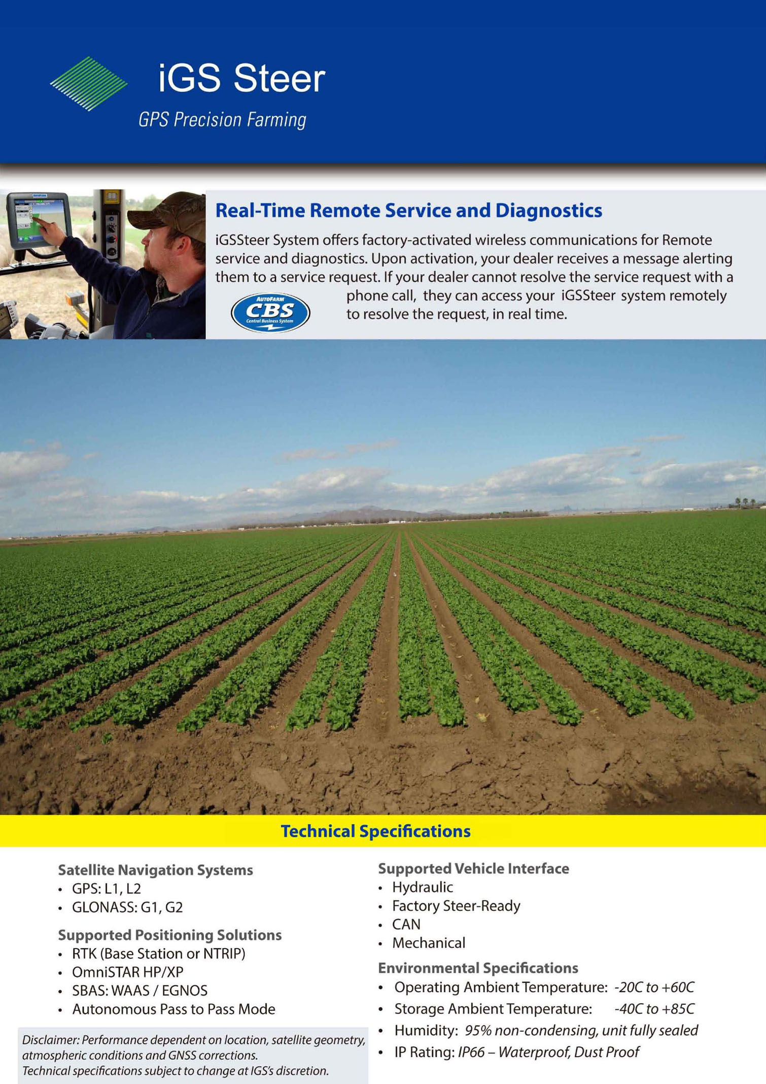
  • GPS Auto Steering System
    GPS辅助驾驶系统

    GPS Auto Steering System

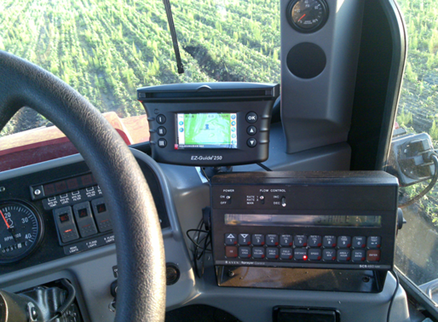
    GPS Auto Steering System GPS Auto Steering System
  • AG-NAV Guia
    AG-NAV Guia空中导航系统

    AG-NAV Guia

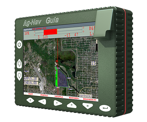
    The AG-NAV Guia is a compact GPS navigation system for aerial applications.
    Rugged, Compact Design
    Being less than 4cm (1.57") thick and weighing only 1.5kg (3.3lbs), our all in one Guia unit is highly compact and convenient. It is equipped with a crisp 16.5cm (6.5”) display. Our carefully designed aluminum alloy housing, made in Canada, ensures that the Guia can withstand the harshest conditions. It is also sealed to prevent any kind of external contamination.
    Moving Map Display
    Our intelligent moving map display provides fast and clear visual information about your area. It also displays vital application details that keeps pilots informed at all times.
    Keeping Pilots Safe
    Power lines, tall trees, poles, and wind turbines are just some of the hazards that pilots face every job. Guia’s obstacle warning feature warns pilots of incoming obstacles with a message and alarms.
  • Monitor and Dispatching System
    监控调度系统

    Monitor and Dispatching System

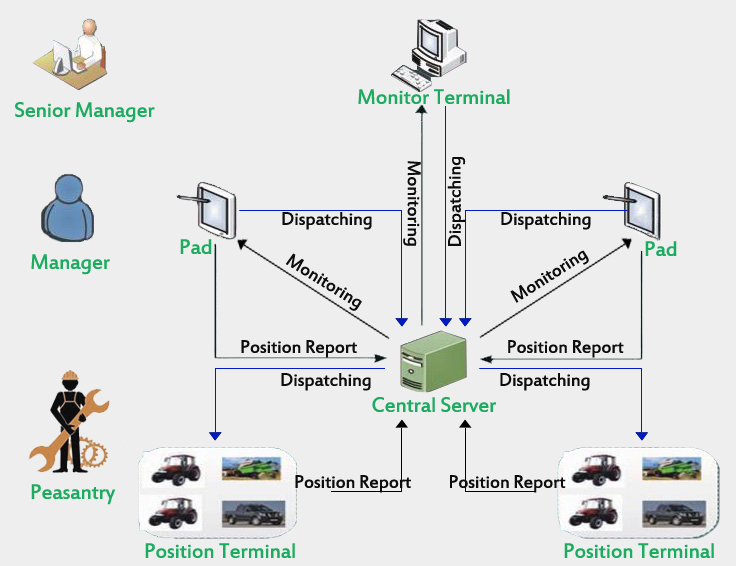
    Monitor and Dispatching System
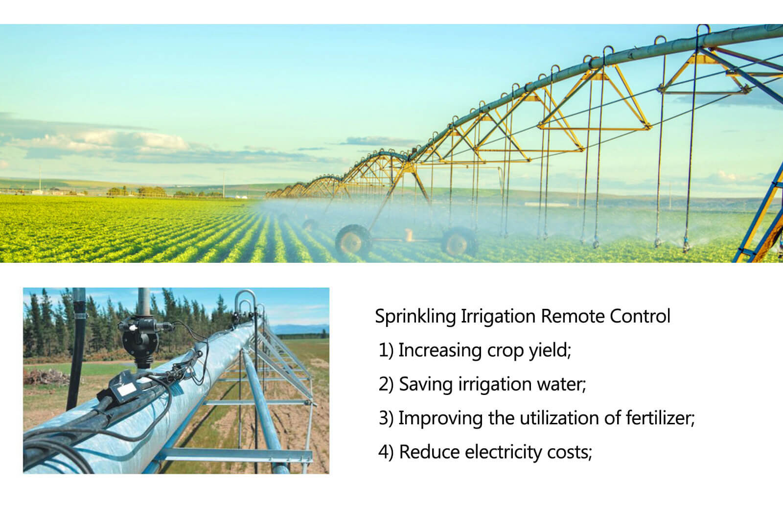
  • Sprinkling Irrigation Remote Control
    喷灌圈远程监控

    Sprinkling Irrigation Remote Control

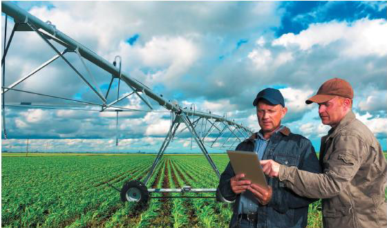
    No matter how much water you apply, some areas of your field just don’t produce high yields. And when you don’t have a variable frequency drive pump, it’s next to impossible to avoid applying a constant rate across your entire field—resulting in wasted water and wasted costs.
    Irrigate optimal flow enables you to avoid watering areas that do not need it, and focus those resources on other areas of the field. With optimal flow, you can use the same standard equipment on your pump while keeping the pressure regulated across the entire pivot—so you don’t have to purchase costly drives or worry about damaging equipment.
    Sprinkling Irrigation Remote Control
  • EVO-T1 Software Management Platform
    EVO-T1 软件开发云平台

    EVO-T1 Software Management Platform

    EVO-T1 Software Management Platform
  • Variable Control System
    变量控制系统

    Variable Control System

    IGS variable control system can be promote efficiency and cost savings based on the geography, climate, crop information of the farmland.Use IGS variables control system can realize multi-channel operation control, make the mixed seeding and mixed fertilizer at the same time。
    Variable Control System
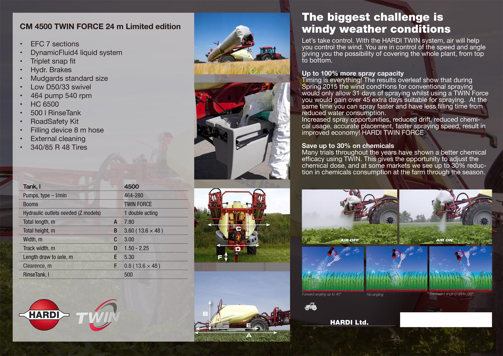
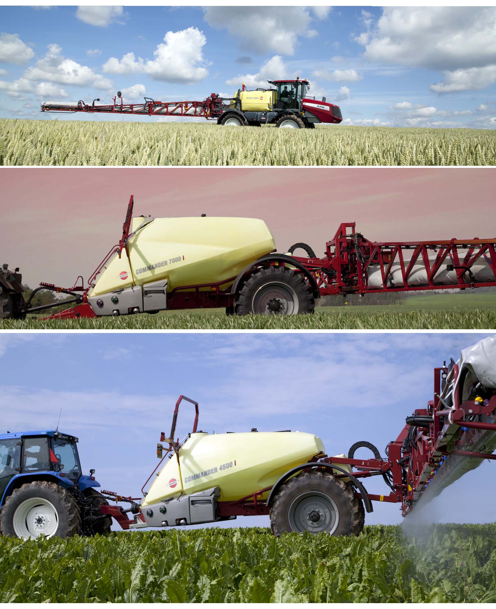
  • Hadi Pesticide Sprayer
    哈滴打药机

    Hadi Pesticide Sprayer

    Hadi Pesticide Sprayer Hadi Pesticide Sprayer
  • Handheld Crop Sensor
    手持光谱仪

    GreenSeeker handheld crop sensor

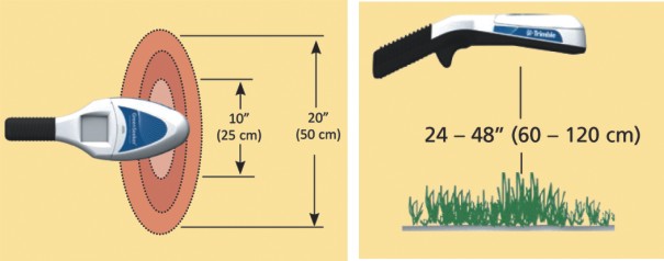
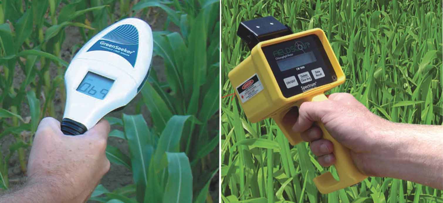
    The GreenSeeker handheld crop sensor is an affordable, easy-to-use measurement device that can be used to assess the heath—or vigor—of a crop in order to make better nutrient management decisions on your farm.
    Use the GreenSeeker handheld to instantly take a reading of your crop's health. Readings can be used to make non-subjective decisions regarding the amount of fertilizer to be applied to your crop, resulting in more efficient use of fertilizer—a benefit to your bottom line and the environment.
    Features
    1)High-quality optical sensor to instantly measure plant vigor
    2)Easy-to read display, even in sunlight
    3)Simple pull-type trigger and comfortable hand grip
    4)Micro USB charging port
    Handheld Spectrograph
  • Soil Sampler
    土壤取样器

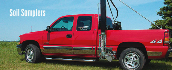
    Soil Sampler

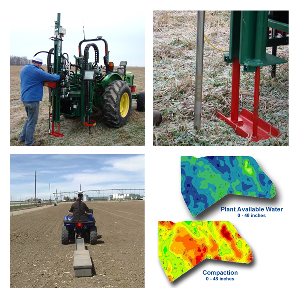
    Benefits
    1) Make better farm management decisions with irrigation, drainage, fertility and amendment applications
    2) Understand soil variability to target precise sampling locations, sometimes reducing the number of samples required – thus saving time and money
    3) Reduce nutrient runoff by understanding how they move through the soil
    Soil Sampler
  • Manure Management
    粪污处理设备

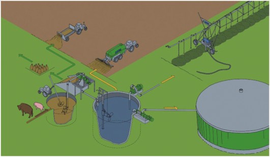
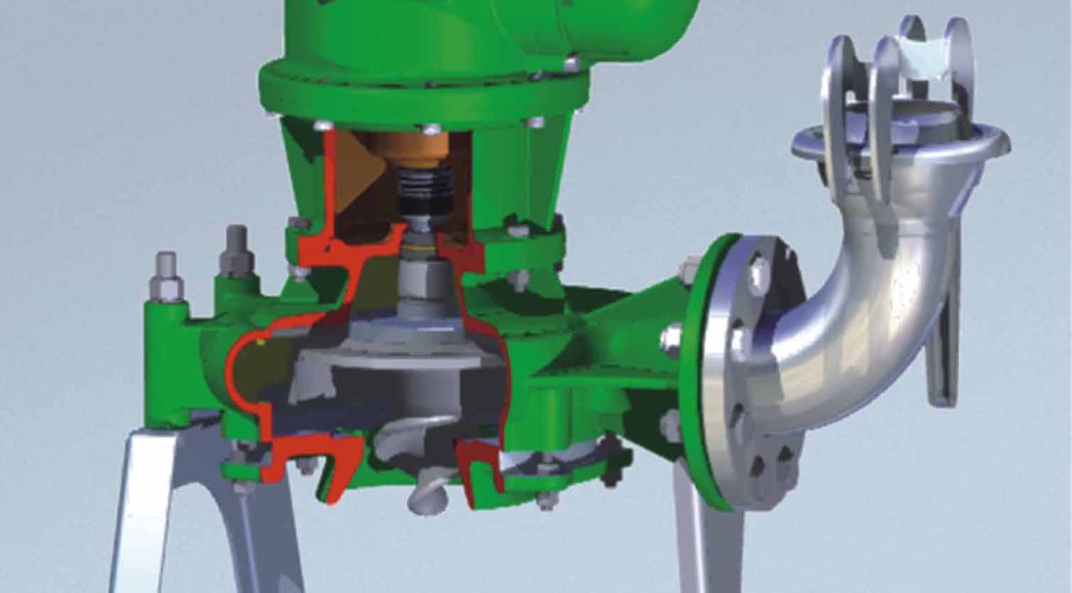
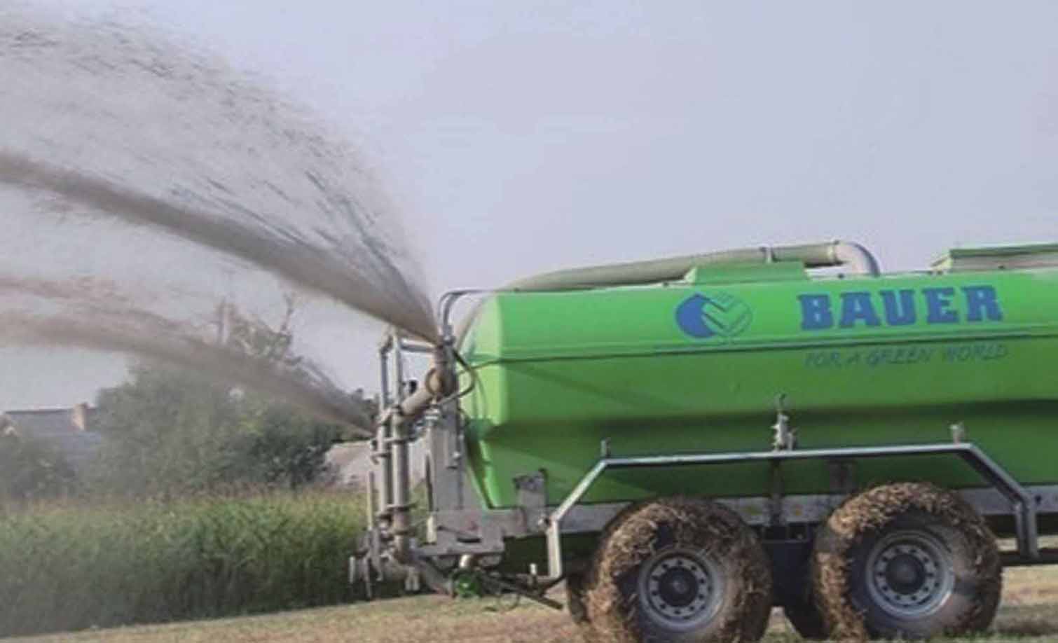
    Manure Management

    Liquid and Dry Spreading
    Display helps you accurately map and apply dry manure when spreading. Ensure that the application of manure is within an acceptable zone or not dispersing where regulations prohibit. Record the location of dispersals into the farm environment and keep track of nutrients applied.
    Nutrient Management
    Crop sensing system allows precise management of crop input application on-the-go. Fields that have been applied with manure have access to various levels of nitrogen based on soil types and weather conditions. GreenSeeker eliminates the guesswork by feeding the plant with the exact amount of nitrogen it needs – at the right time, regardless of field conditions. This provides a higher yielding environment for crops used for feed.
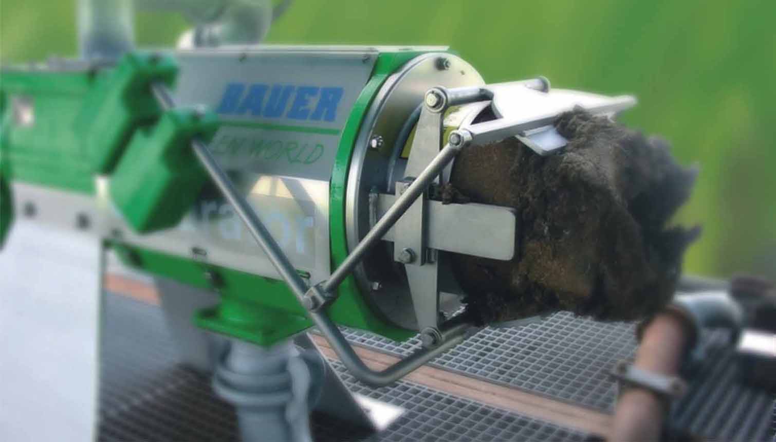
    Solid Liquid Separator
    Manure Management
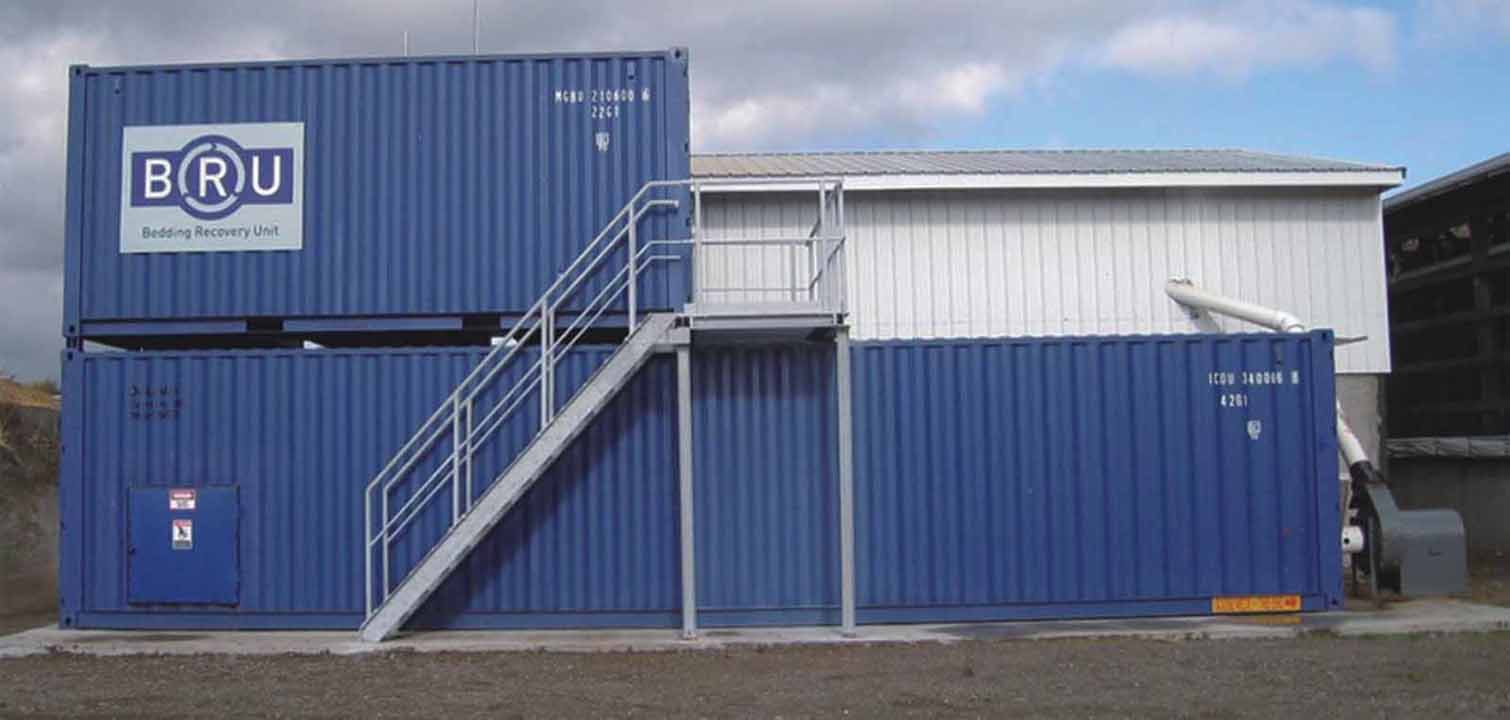
    BRU-Regeneration System
    Manure Management
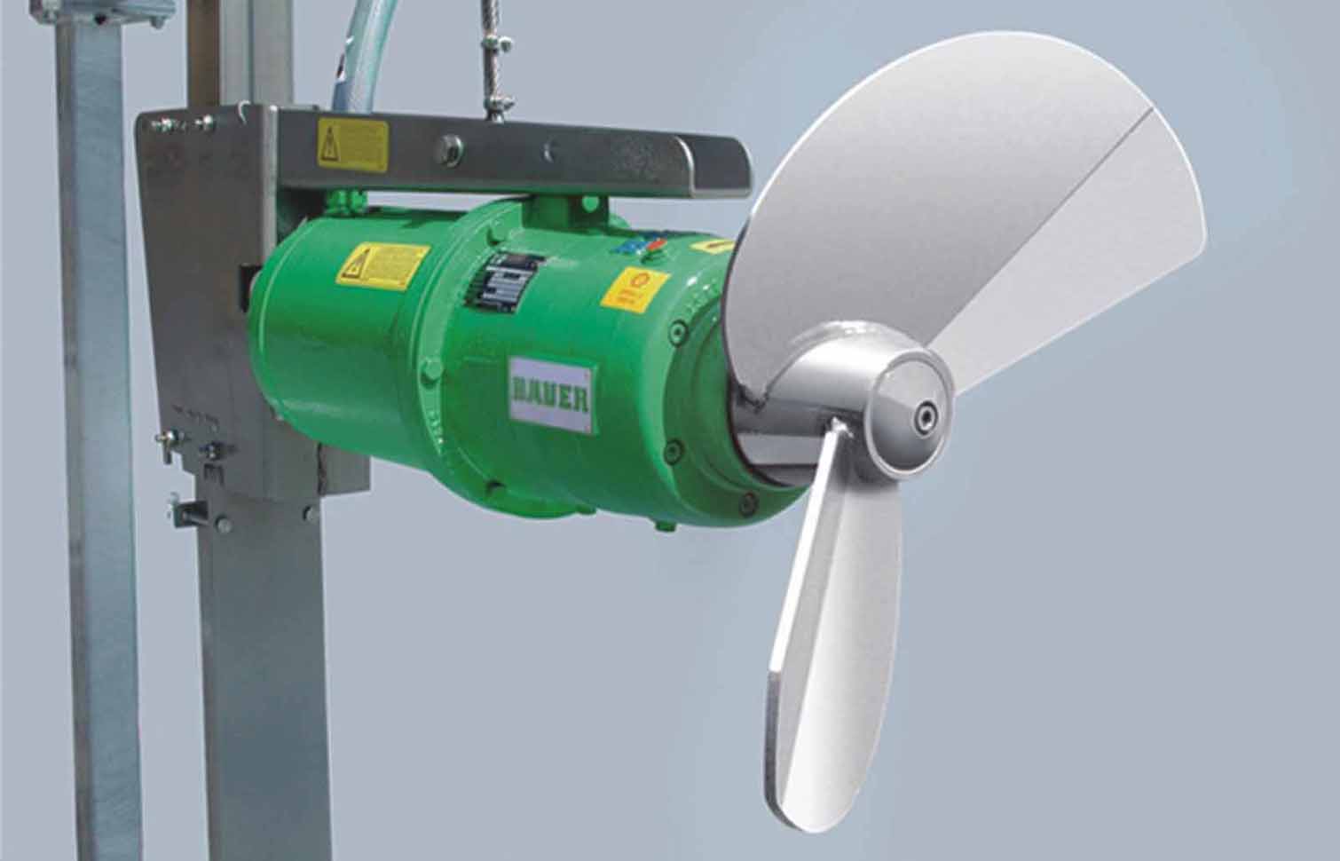
    Submersible Mixer
    Manure Management
    MAGUNUM Series of Mud Pump
    Manure Management
    Dung-Cart And Sprinkling System
    Manure Management
  • Base Stations
    基站系统

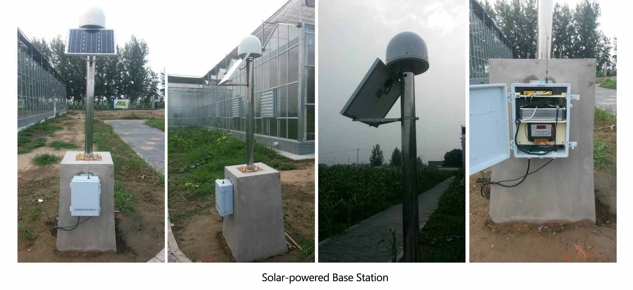
    Base Station System

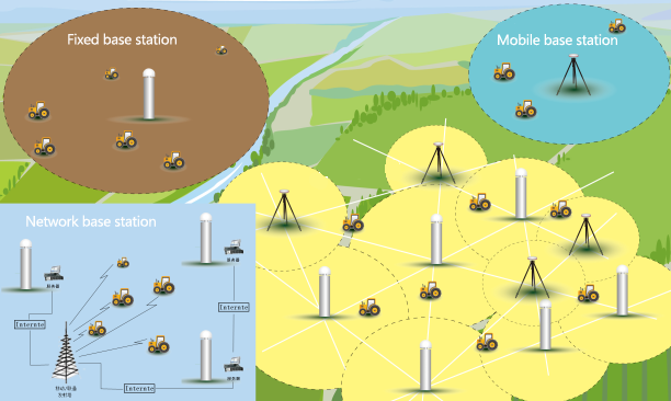
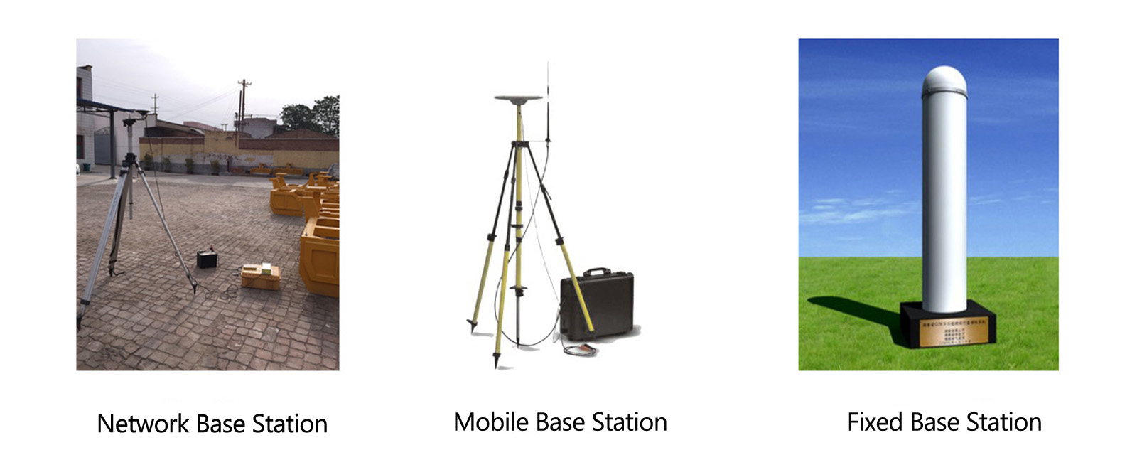
    RTK base stations are designed for simple and reliable operation as part of an RTK base station network or as a single mobile base station for on-farm use.
    A combined a GPS/GLONASS receiver and RTK radio that provides:
    1) Autobase™ technology for single button start up
    2) +/- 1 inch pass-to-pass and year-to-year repeatability
    3) Easy-to-use display for configuration and status checking
    4) Long-life battery for up to 10 hours of operation
    5) A wide range of 450 MHz and 900 MHz frequencies

    Base Station System Base Station System

  • USC Seeding Control System
    USC通用播种控制系统

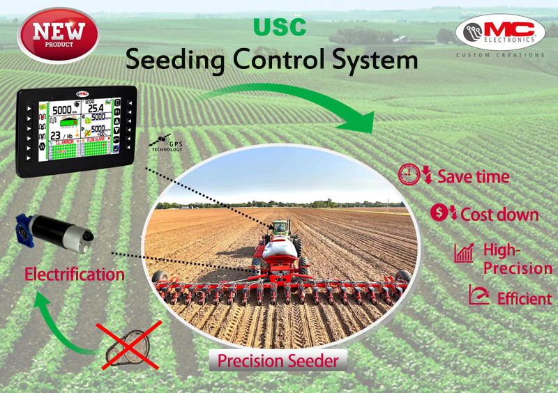
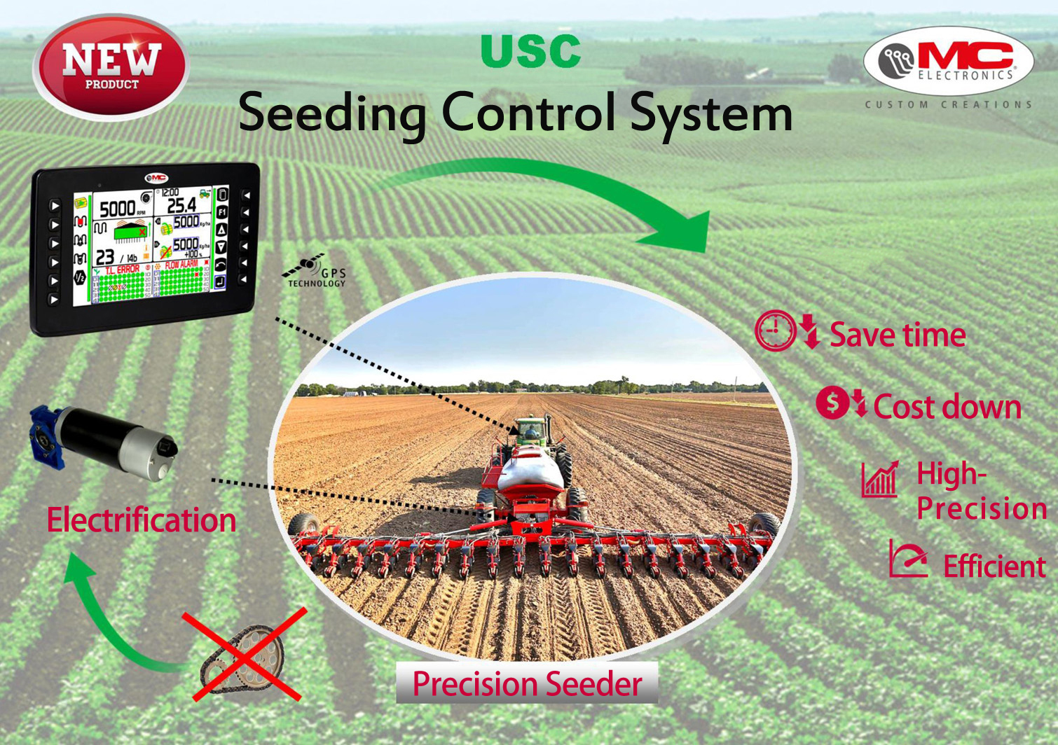
    USC Seeding Control System

    USC Seeding Control System
  • USC Electri Seeding Control System
    ESD电动播种驱动系统

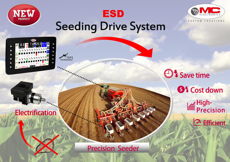
    USC Electri Seeding  Control System

    。 USC Electri Seeding  Control System
  • IGS Meteorological monitoring
    IGS气象监测

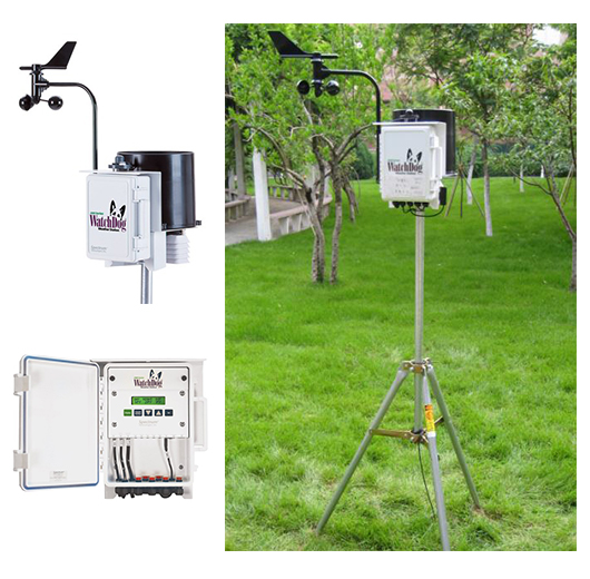
    automatic weather station

    Meteorological monitoring:
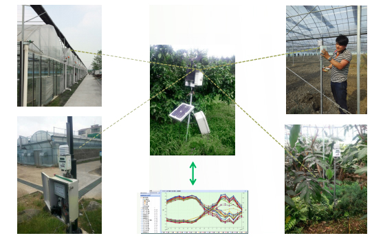
    Meteorological monitoring plays an important role in plant health. A variety of sensors can be used not only to measure key parameters such as soil, moisture, light, temperature, relative humidity, wind speed and direction, but also calculates evapotranspiration, growingdegree-days and other important metrics that needed to grow and manage healthy crops. All environmental data is collected at custom intervals to track cross-period trends, reporting and quick monitoring to help growers make informed decisions.
    IGS 2900ET Professional automatic weather station
    As a data collection hub, the IGS 2900ET weather station is equipped with sensors for wind speed, wind direction, rainfall, light, temperature, air humidity, etc. It can simultaneously calculate the dew point temperature and evapotranspiration in real time, and can also connect 5 external sensors(SMEC300, soil moisture sensor, temperature sensor, EC sensor, leaf surface humidity sensor.)
    Features:
    1、With sensors such as air humidity, light, rainfall, wind speed and wind direction that can calculate indicators such as dew point and evapotranspiration;
    2、Has the function of collecting, storing and transmitting all sensor data;
    3、Professional quality and precision;
    4、With wireless transmission function;
    5、The detection function can also be customized according to user needs.
    automatic weather station
    IGS Meteorological Information Management System
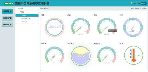
    The system can list all the equipment information, and upload the collected information such as equipment power, wind speed, wind level, wind direction, rainfall, relative humidity, solar radiation, temperature and other data to the database of the platform through the mobile internet. Manage the device on the system, such as download the analysis and monitoring data, and generate various reports and charts.
    IGS Meteorological Information Management System
    System login interface
    IGS Meteorological Information Management System
    System main interface
Beijing Sheng Heng Tian Bao Technology Co.,Ltd.
Phone:010-67536774Fax:010-51669665Email:xqluo@shtbag.comWeb:www.shtbag.com
Address:Rm1003, Building 7, Fengchuang Science Park,Kechuang Road 13,Yizhuang Economic Development,Beijing, China
  • Call
    Phone:010-67536774
  • wechat wechat
    Wechat:shtbkj
  • QQ
    QQ : 413607514